Modelling of Transport and Spatial Systems
Due to the increasing complexity and interaction of transport and settlement systems, methods are needed to better analyse, understand, and design these systems.
Overview

Globally observable trends such as increasing urbanisation, rising population numbers and higher transport demand mean that transport and settlement systems are increasingly reaching their performance limits. Due to the strong interdependence of these systems, integrated modelling, analysis, and evaluation are therefore becoming increasingly important. This need is addressed by the research topic "Modelling of Transport and Spatial Systems". Transport and spatial systems are analysed and modelled with the aim of better designing these systems for society, the economy, and the environment.
To achieve this, we develop methods and (prototype) software tools within the framework of research projects, together with business and research partners. The methods and tools are also used in teaching. The methods developed can be assigned, among others, to the following areas: Transport and settlement planning, geographic information systems (GIS; for example, for spatial analyses, mapping, and visualisations), data analysis and statistics, traffic engineering, operations research, and simulation. Furthermore, the development and application of indicator systems plays an important role here. Where possible, freely available data (open data) and software (open-source) is used.
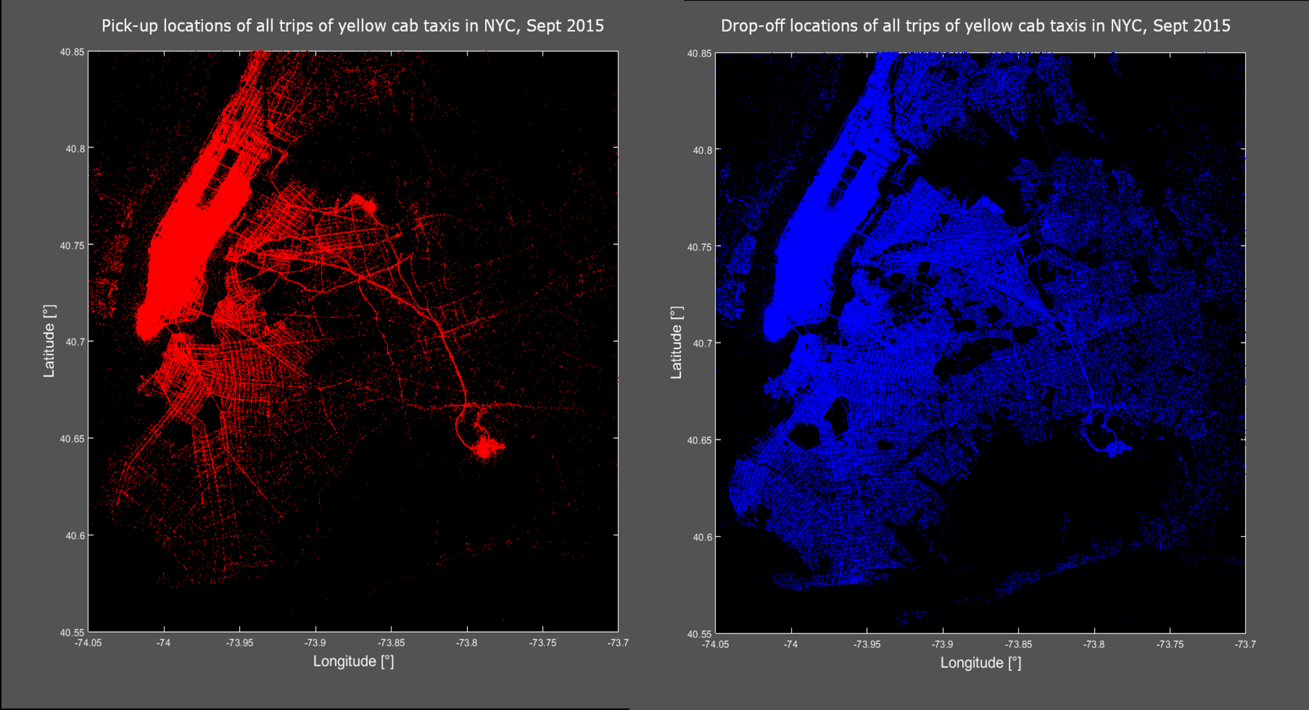
Some application examples from this research area are:
- Accessibility of activity locations (leisure, health care, jobs, etc.) for different modes of transport and spatial scales.
- Quantitative assessment and optimal design of mobility hubs (e.g., with approaches such as 'Transit Oriented Development'), their surrounding settlement areas as well as mobility offers.
- Assessment of the stability of timetables (public transport) and flight schedules (air transport).
- Simulation and assessment of the spatio-temporal dynamics of the spread of viruses (e.g., COVID-19) within transport networks.
- Analysis of the mobility behaviour of travellers (micro view) and of traffic flows (meso/macro view).
- Routing for different modes of transport using specific tools.
Selected projects
- Development and implementation of spatial accessibility methods for the region of Västra Götaland (Sweden) Quantitative methods for calculating spatial accessibility play an increasingly important role in the integrated assessment of transport and settlement systems.
- Evaluation of timetables and schedules from the perspective of operators and customers Due to increasing automation and rising capacity utilisation in public transport as well as in air transport, the optimal design of timetables and flight schedules is becoming more and more important.
- Detection and analysis of the flows of people in public spaces by means of anonymous Bluetooth tracingThe detection and analysis of the flow of people provides important insights into the spatio-temporal behaviour patterns of people in public spaces such as city parks, shopping facilities, or railway stations.
Selected business partners
- Västtrafik (transport company of the province of Västra Götaland)
- Swiss Federal Railways SBB, Infrastructure Division
- Swiss International Air Lines
- Federal Department of Defence, Civil Protection and Sport
- Various cities
Selected research partners
- University of Gothenburg, Department of Economy and Society, Gothenburg, Sweden
- Berliner Hochschule für Technik, Berlin, Germany
- Curtin University, Bentley, Perth, Australia
- ZHAW Institute Urban Landscape
- ZHAW Institute of Signal Processing and Wireless Communications
- ZHAW Institute of Applied Mathematics and Physics
Engagements
- NECTAR (Network on European Communications and Transport Activities Research)
- AESOP (Association of European Schools of Planning)
- SVWG (Schweizerische Verkehrswissenschaftliche Gesellschaft)
- Accessibility Instruments For Planning Practice In Europe (COST Action TU1002)
- VSS (Schweizerischer Verband der Strassen- und Verkehrsfachleute)
- IEEE, ITSS (Intelligent Transportation Systems Society)
- IEEE, GRSS (Geoscience & Remote Sensing Society)