Orientation and terrain structures along the river
This experiment introduces the pupils into the location of the river they are supposed to investigate.
Learning goals
- Orientation with map and compass
- Recognize different rock and ground formations along the river
- Use the compass to define the directions
Background information

It is important to find a river which is still more or less naturally preserved. The river or at least some parts of it should have typical structures like meanders, natural habitats, banks and marshes. In most regions there are better chances to find appropriate structures at smaller streams. There is unfortunately no standard method to find a suitable location, since this is region-dependent. The best way of course is if you are familiar with the local landscape and already know some potential candidate streams. Otherwise the following list provides some input to facilitate the evaluation process.
- If you do not already know some potential places, take a recreation map with scale of 1:50'000 or smaller and look for rivers or river parts with meander structures. Rivers surrounded by natural vegetation or forest are often more nature-like than rivers flowing along agricultural land, roads or urban areas.
- Active members of local environmental associations are a valuable source of information. You often will encounter a lot of local knowledge on landscape and its ecology in such organisations.
- It is important to consider the accessibility of the particular places. You should have been in the terrain and checked potential risks. The stream flow of some streams can alter within a few minutes from a harmless creek to a dangerous stream, due to regulation or natural fast runoffs. It is therefore important to obtain information on potential changes in the water discharge from the local authorities.
Time requirement
A time-frame of 4-5 hours should be allocated, depending on the size of the region and how many places you intend to visit with the class. The time requirement will also be highly dependent on how far you need to travel to come to a suitable river location.
Material requirement
- 1 class set of compasses
- 1 class set of maps of the river location
Let's start
As preparation in the classroom provide the pupils with a map of the region where they have to draw in the river from the source to the river mouth. Have them mark and write in names of larger cities and villages.
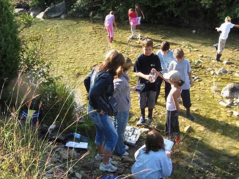
In the field, they have to find and visit specified places along the river with the help of map and compass. There they should investigate the rock and the ground on both sides of the river.
It is important to consider security issues. Check carefully if there is no potential risk to enter the riverbed or in exploring the surrounding terrain. You should also define and communicate clear boundaries to the pupils how far they can explore the landscape by themselves. Define a clear and easy to find meeting point in case somebody will get lost.
See and feel
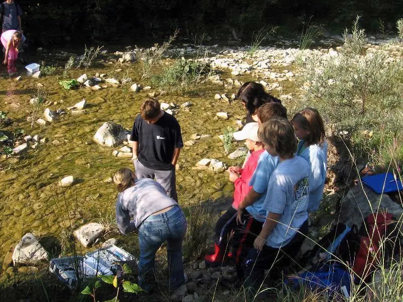
- On which side of the river are you standing?
- Which types of rock compose the ground where you are standing?
- Which types of rock compose the opposite side?
- Flow structure of the river (meander, straight on, water fall, canal)
Didactical comments
In harmless terrain with clear boundaries, for example a small forest surrounded by agricultural area, it could be possible to let the children go around and find some places by self in small groups.
Keep a holistic view, do not overload the pupils with details on rock or soil types. Guide their attention to landscape structures, flow patterns etc., and compare these between different sections of the river.