Labor LIDAR
Laboratory and system description

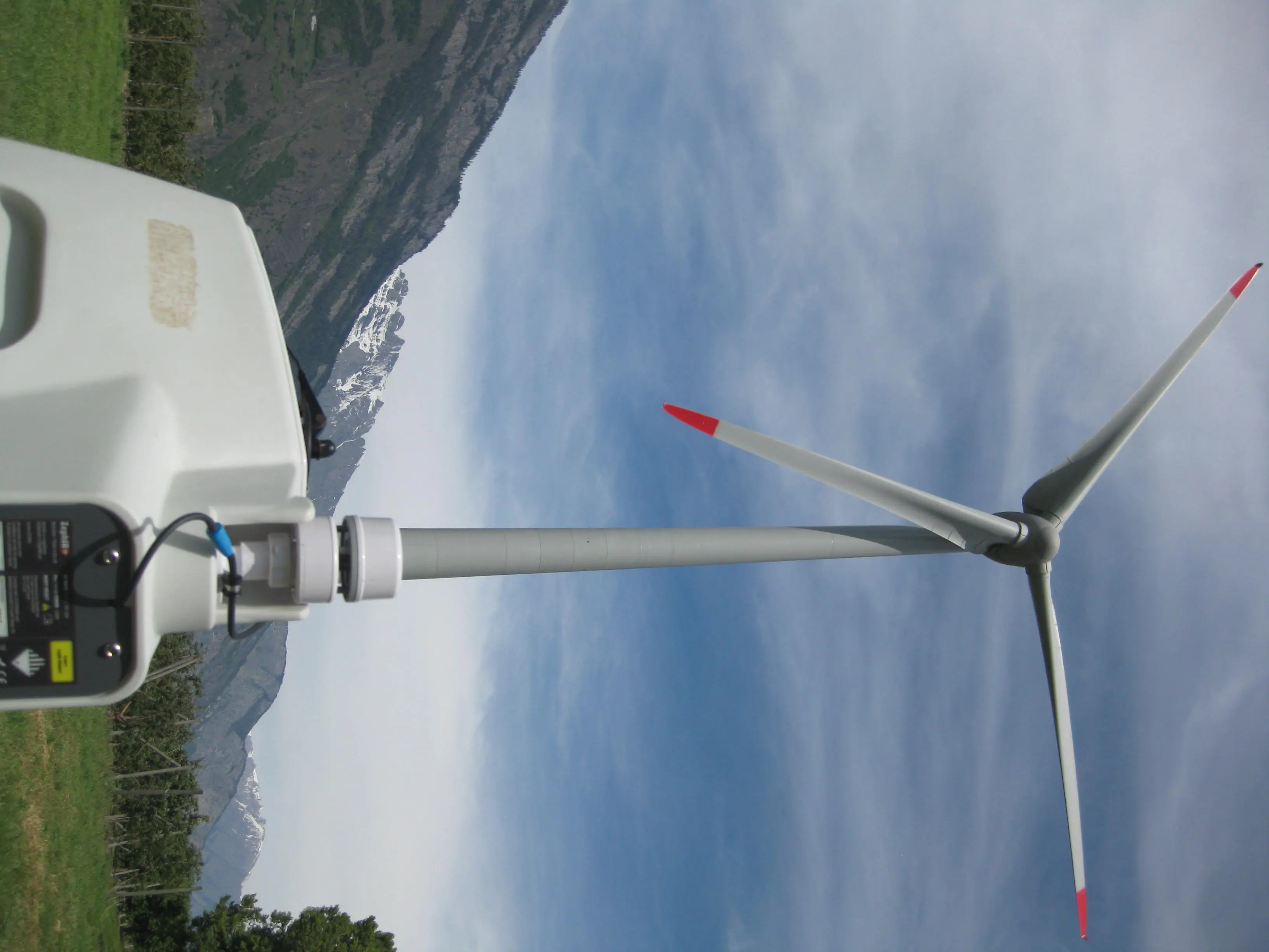
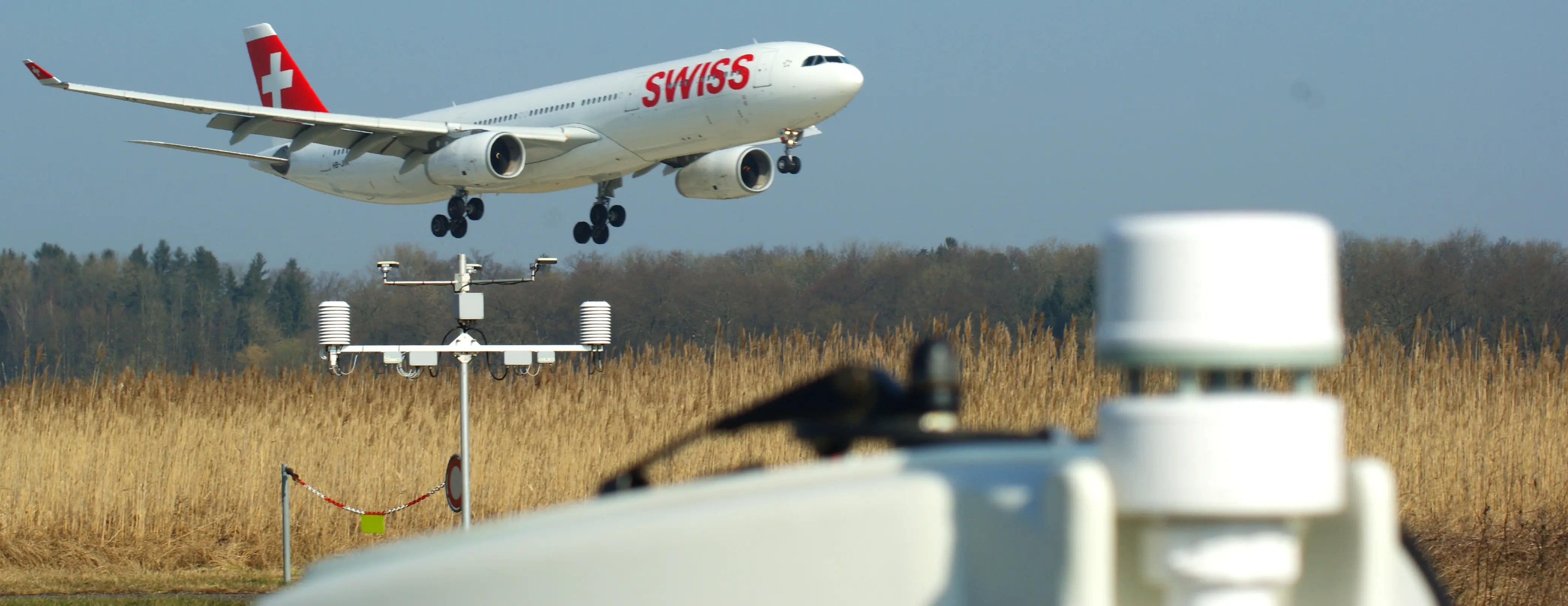
LIDAR (Light Detection and Ranging) is operated by the Centre for Aviation in the field of meteorology. The light scattered back from the aerosols in the moving air mass is optically detected by the measuring system and electronically evaluated. "From the backscattered signal we can determine what the wind field looks like in the area of the atmosphere crossed by the laser beam. We are also able to detect aerosols and their movement," explains Saskia Drossaart van Dusseldorp, research associate in the Team “Meteorology, Environment and Aviation. "This enables us to make an exact statement about the local wind field and strength in the elevation band from 10 m to 250 m".
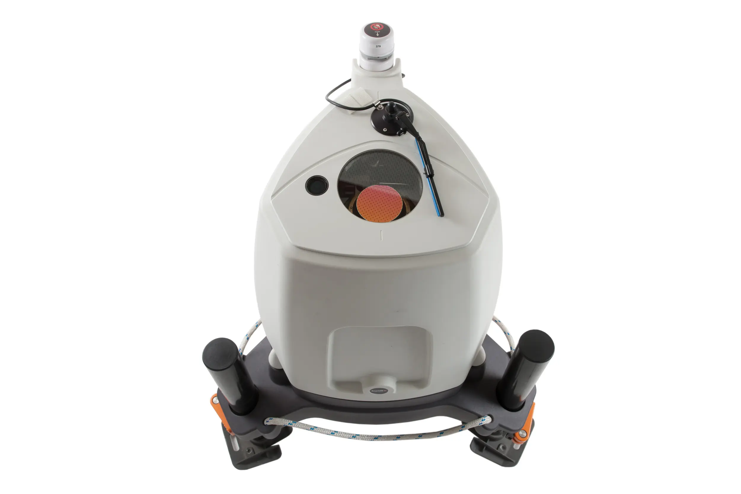
The ZephIR 300 LIDAR used by the ZAV operates on the basis of a continuous wave (CW) laser, which is focused optically on the corresponding observation height. The laser emitter, which rotates at an angle of 15° to the vertical axis, produces a cone with an aperture angle of 30° on the surface of which the measuring points lie. For each measuring height and rotation, 50 data points are recorded, i.e. 50 Hz data. "We are equipped to carry out wind measurements continuously over a longer period of several days to weeks. This will collect detailed information on the wind field and speed in the lower layer of the atmosphere, which can be evaluated and interpreted at a later stage," explains Saskia Drossaart van Dusseldorp.
Software
The LIDAR generates large amounts of data, which have to be evaluated after the measurement. For this reason, the Centre for Aviation has developed a Post-Processing method. The software package of the evaluation software has the following features:
- Determination of the radial velocities from the LIDAR's raw data.
- Spatially resolving the 50 Hz radial velocities in their components (u, v and w) and position in space (x, y and z)
- Determination of wind field parameters (horizontal and vertical wind speed)
- The software enables users to adjust the data preparation to the environmental situation by means of adjustable parameters, so that the best possible results can be achieved. This ensures that high-quality data can be collected at any time.