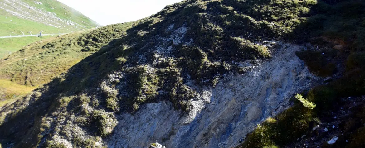
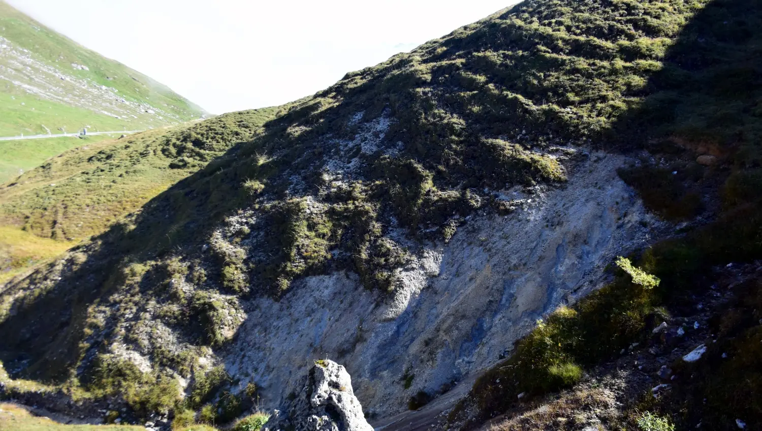
Erosion in Alpine Areas
An ArcGIS® toolbox for the identification of cultivation induced Soil Erosion
Description
The protection of Alpine Soils is of great importance and closely linked to suitable farming strategies. The Guidelines for environmental protection in agriculture provide detailed reference for surveying, controlling and preventing erosion on alpine surfaces. In this research project, an ArcGIS® Toolbox was developed that enables the (semi-) automatic identification of farming induced erosion from digital aerial imagery according to the Guidelines for environmental protection in agriculture. The GIS processing sequence was tested in a representative study area and validated with field findings. This efficient, adaptable and user-friendly toolbox will support the cantonal authorities to objectively identify erosion.
Key data
Projectlead
Martin Geilhausen
Project team
Project partners
Kanton Uri / Amt für Umweltschutz
Project status
completed, 04/2016 - 11/2017
Institute/Centre
Institute of Natural Resource Sciences (IUNR)
Funding partner
Bundesamt für Umwelt BAFU; Kanton Uri
Project budget
19'332 CHF

Grüentalstrasse 14
8820 Wädenswil